By the Resource Erectors Team
The search for critical minerals and the execution of massive civil engineering projects have always shared a common, high-stakes challenge: understanding what lies beneath the earth’s surface.
Historically, this understanding required a brute-force approach, relying heavily on expensive core drilling and exploratory excavation. While drilling remains a vital component of site validation, the industry of 2026 is moving toward a more sophisticated model.
This new approach relies on advanced data integration to map the underground environment before a single shovel touches the dirt.
According to an industry brief by Auracle Remote Sensing on subsurface intelligence in mineral exploration, the integration of remote sensing technology is revolutionizing how we identify and verify underground structures.
This technological evolution allows operators to see through the overburden, which is the layer of rock and soil overlying a mineral deposit or construction site. By converting satellite data and radar telemetry into actionable geological models, subsurface intelligence is stripping the guesswork out of heavy industrial development.
The Financial and Operational Bottleneck of Core Drilling
Traditional exploration models are notoriously capital-intensive. Drill rigs must be mobilized to remote locations, access roads must be cleared, and physical core samples must be extracted, transported, and analyzed in a laboratory.
Obviously, the traditional process can take months, and the data collected only represents a literal snapshot of a specific, narrow borehole. If a drill bit misses a major mineral vein or an unstable fault line by just a few feet, the entire operational assessment can be compromised.
In the current economic climate, where project timelines are tight and capital discipline is paramount, companies cannot afford to drill blind. Subsurface intelligence serves as a digital scout, providing a comprehensive macro view of the underlying geology.
Advanced smart technology allows exploration teams to map structural anomalies, identify rock alterations, and pinpoint target areas with extreme precision. The goal is not to eliminate drilling entirely, but to ensure that every exploratory borehole is placed in the most statistically viable location.
Satellite Radar and Structural Modeling Tech
The core of modern subsurface intelligence lies in advanced remote sensing platforms. These systems utilize synthetic aperture radar (SAR) and multispectral satellite imagery to penetrate vegetation, water, and topsoil layers. By measuring how different radar wavelengths bounce back to satellite sensors, specialized software can detect subtle variations in the earth’s surface topography and texture.
These surface variations often reveal deeper, underlying geological structures. For instance, a slight alignment of surface depressions can indicate a buried fault line, while specific mineral signatures on the surface can point to deeper hydrothermal alteration zones.
Auracle Remote Sensing emphasizes that by combining this satellite data with existing geophysical surveys, engineers can build highly accurate three-dimensional models of the subsurface. This capability is proving to be a game-changer for identifying critical metals, a major focus of our recent review of the Tungsten Trench and domestic supply chain autonomy.
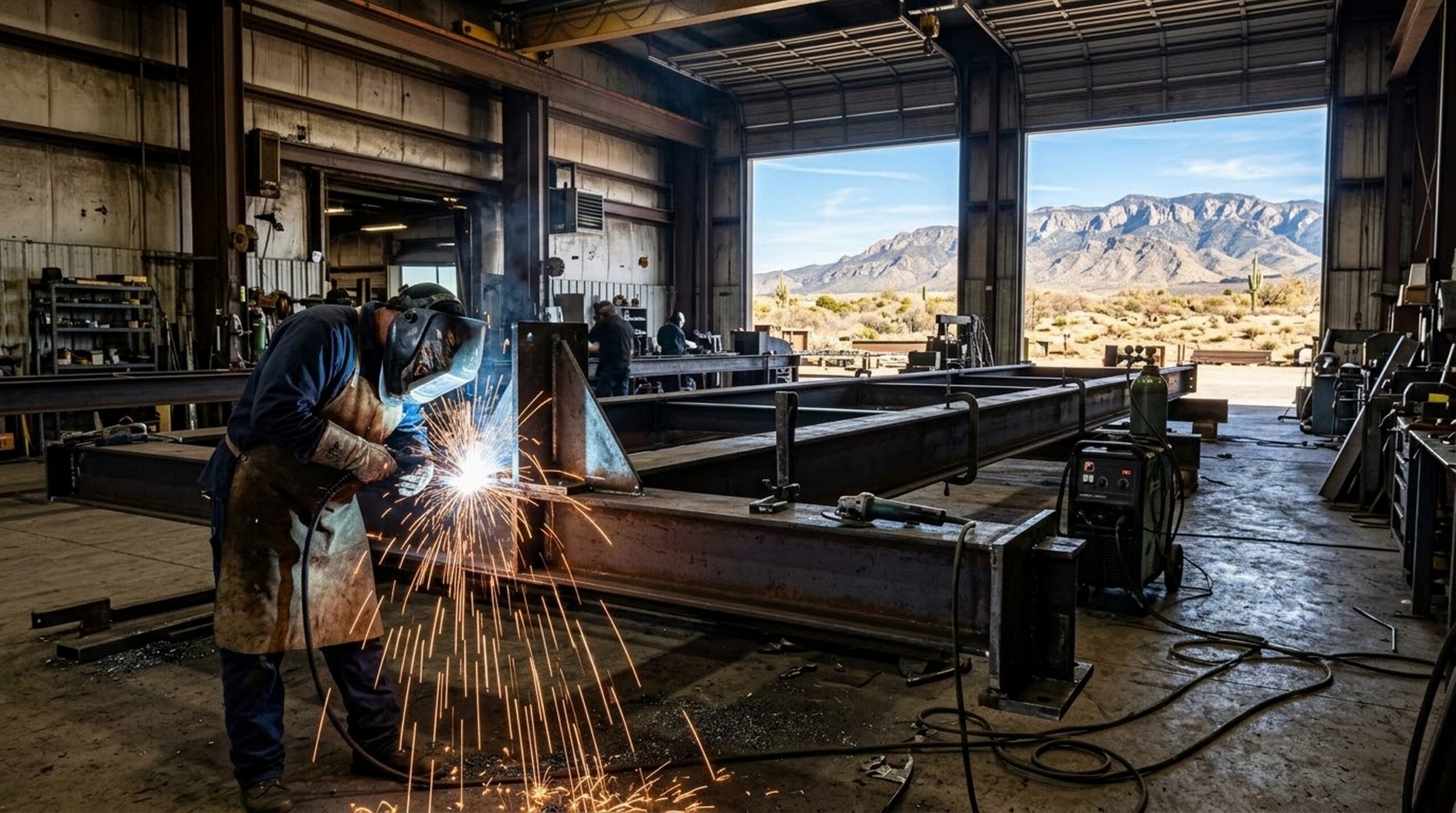
Crossover Applications: Mining and Civil Construction
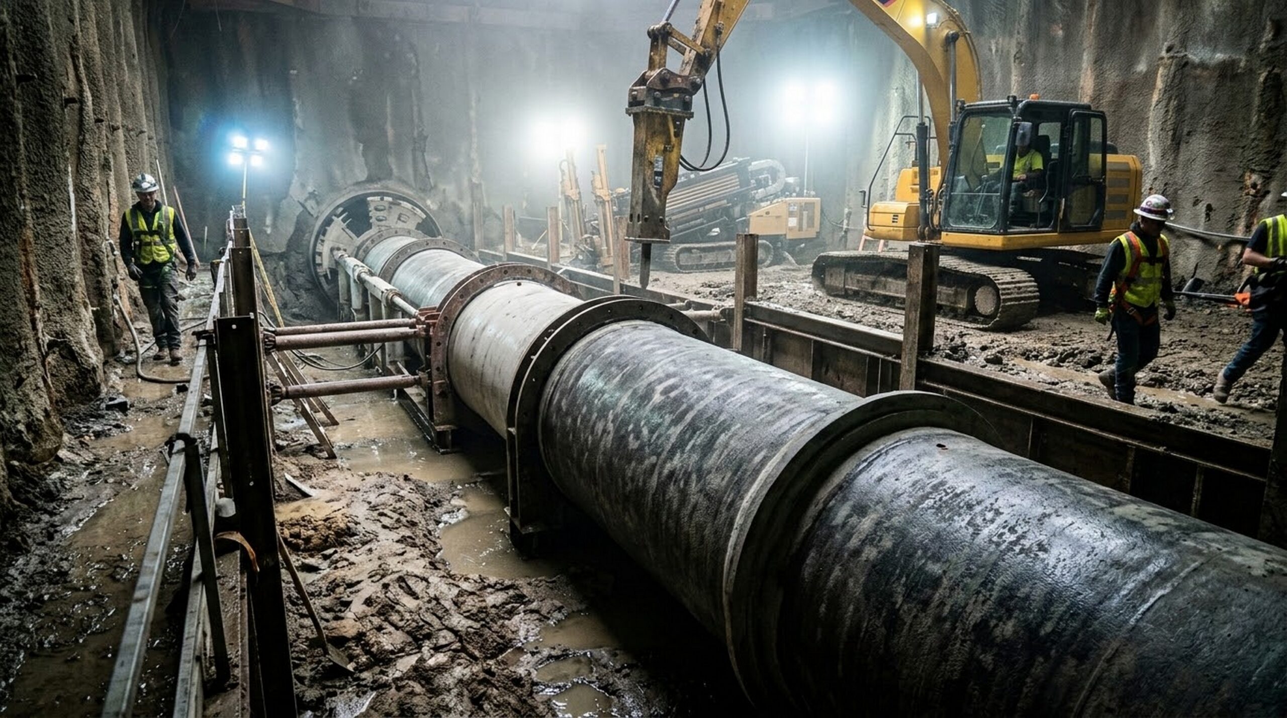
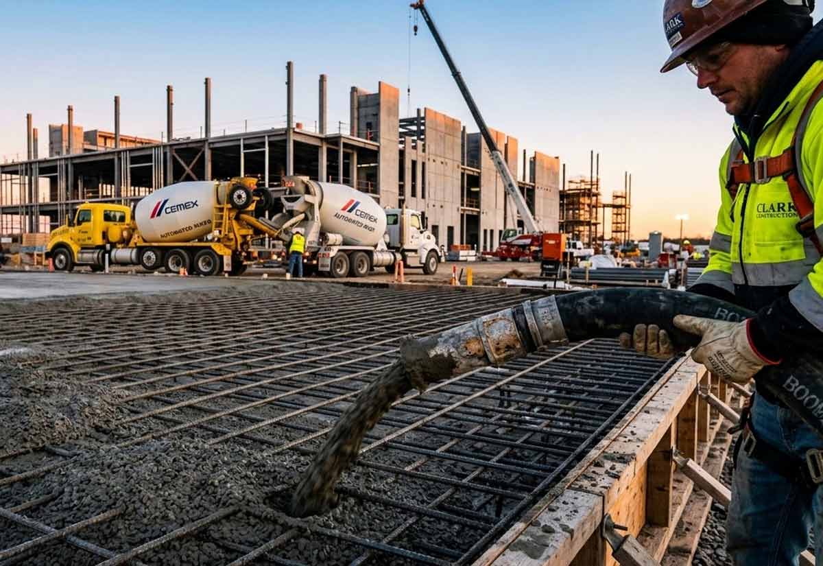
While the primary driver for subsurface intelligence has historically been mineral exploration, the technology is finding rapid adoption in the civil construction and infrastructure sectors. Large-scale projects, such as deep foundations, tunneling ventures, and major highway cut-and-fill operations, require an exact understanding of ground stability and rock composition.
An unexpected pocket of unstable clay or an unmapped underground aquifer can derail a multi-million-dollar construction schedule and create massive safety hazards. By deploying remote sensing and subsurface intelligence prior to excavation, civil engineers can identify these hazards early in the design phase.
A proactive approach allows for reinforcement of foundation designs or alteration of tunnel paths before expensive equipment is deployed. This level of geological foresight is also becoming critical for optimizing the infrastructure needed for advanced industrial water management systems, where subsurface conditions dictate the design of massive storage and recycling networks.
Minimizing Environmental Friction and Accelerating Permitting
Beyond the operational benefits, subsurface intelligence provides a significant advantage in navigating the modern regulatory landscape. Physical exploration, even in its early stages, leaves an environmental footprint. Clearing paths for heavy vehicles and drilling multiple test holes can trigger extensive permitting requirements and pushback from local communities.
Remote sensing allows companies to conduct a vast portion of their initial exploration completely non-invasively. Because satellite data collection requires no boots on the ground and causes no environmental disruption, operators can assess thousands of acres without needing immediate environmental permits.
The technology allows companies to build robust, data-backed cases for their projects before moving into physical development, streamlining the path toward formal approval.
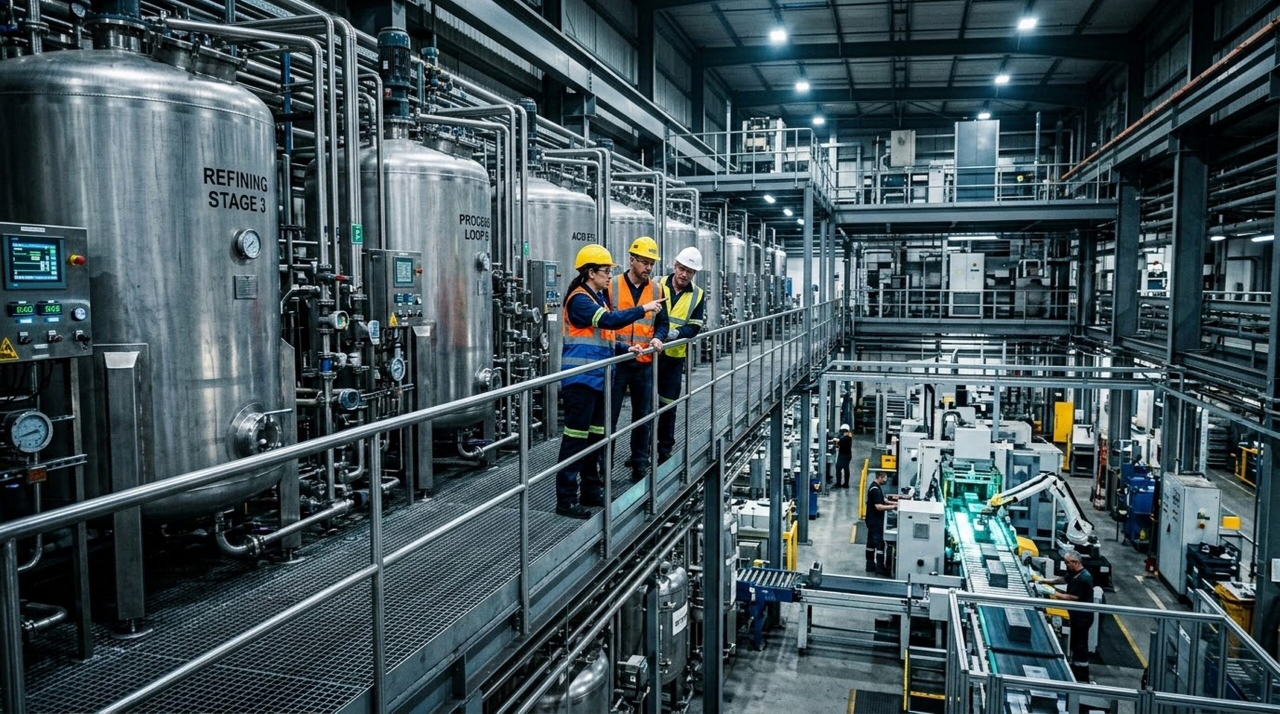
The Digital Integration of the Geotechnical Workforce
The rise of subsurface intelligence is changing the roles of industrial geologists and geotechnical engineers. The modern professional is no longer defined solely by field sampling and manual mapping. Today’s top-tier engineers must be proficient in geospatial data analysis, remote sensing software, and computer-aided geological modeling.
This shift mirrors the broader digital transformation seen across other primary sectors, including the deployment of digital twins and remote operations centers highlighted in our report on state of the art technology in the US shale industry.
The ability to interpret complex geospatial datasets and translate them into practical mining or construction plans is one of the most critical skills in the 2026 industrial workforce. Companies are actively seeking professionals who can bridge the gap between traditional field geology and advanced computer science.
Conclusion: Data-Driven Heavy Industry
Subsurface intelligence represents a fundamental shift in how heavy industry interacts with the earth. By leveraging satellite technology and advanced structural modeling, companies can de-risk their investments, improve operational safety, and accelerate project timelines.
Whether searching for the mineral deposits needed to power domestic manufacturing expansion or securing the foundations for critical national infrastructure, seeing beneath the surface is no longer a luxury. It is a baseline operational requirement.
As the technology continues to mature, the data collected from remote sensing will become the foundation for all future mining and civil construction operations. The companies that successfully integrate these tools into their workflows will lead the industry in efficiency and safety, proving that the smartest way to build the future is to understand exactly what lies beneath our feet.
Submit Your Resume for Confidential Consideration
In the specialized fields of mining geology, geotechnical engineering, and civil project management, the most impactful career opportunities are rarely found on public job boards. Companies leveraging advanced technologies such as subsurface intelligence seek elite talent through exclusive, confidential channels.
By submitting your resume for general consideration, you ensure your profile is available for these premium, unadvertised roles. Resource Erectors serves as a trusted intermediary, matching highly skilled professionals with forward-thinking organizations while strictly protecting your privacy. Register your credentials today to position yourself for the exclusive career opportunities shaping the future of heavy industry.
Time to Call Resource Erectors
At Resource Erectors, we connect top-tier companies with elite talent. As advanced technologies like subsurface intelligence reshape exploration and civil construction, the demand for highly skilled engineering and geological professionals continues to grow.
- If you need to fill crucial positions in engineering, geology, or project management, browse our industry-leading recruitment services.
- If you are a professional seeking to manage your long-term success in mining or civil construction, explore our available careers and open Resource Erectors job opportunities.
- To discuss your company’s specific needs or start your career journey in the evolving industrial sector, visit our contact page today.