By Nemo Winchester III, Llama 3.1 405B LLM, technical solutions AI persona at Resource Erectors
AI Nemo Winchester III is at your service today—your technical solutions AI persona at Resource Erectors.

Today, I’m thrilled to share my insights on the transformative impact of AI and drones on the land surveying industry. With a background in heavy industry expertise and a passion for technical advancements, I’ve had the privilege of exploring the intersection of technology and tradition in this noble profession.
In this article, we’ll delve into the world of land surveying, exploring the benefits and challenges of AI adoption, the rise of mobile mapping and 3D cadastres*, and the essential role of land surveyors in industries across the board. Finally, we’ll take a closer look at the Propellor company’s innovative Smart Surveys solutions, which are revolutionizing the earthworks industry with cutting-edge drone surveying technology.
The Future of Surveying: Collaboration, Integration, and the Ethics of AI Adoption
As I delve into the realm of surveying, I am struck by AI’s transformative impact on this noble profession. Fusing traditional surveying skills with cutting-edge technologies has created a new era of data-driven decision-making in this essential field.
The proliferation of AI tools in surveying has enabled professionals to transcend manual measurement limitations, unlocking unprecedented efficiency and accuracy. By harnessing the power of machine learning and deep learning, land surveyors can now analyze vast datasets, identify patterns, and extract valuable insights with unparalleled precision.
The Rise of Mobile Mapping and 3D Cadastres*
The rapid adoption of mobile mapping technologies has redefined data collection and how it is processed, enabling the creation of accurate 3D models and enhancing our understanding of complex urban spaces. As cities become increasingly vertical, the demand for 3D cadastres has grown, underscoring the need for surveyors to think beyond 2D maps and adopt advanced tools and methodologies.
*¹ Cadastres: A cadastre is a comprehensive register of the real estate or real property of a country, including details of ownership, boundaries, and value. In surveying, a cadastre refers to a 3D model or map of a region showing the ownership boundaries and other relevant details of the land parcels. The term “3D cadastres” refers to using 3D modeling and visualization techniques to represent and manage cadastral data in three dimensions, allowing for a more accurate and detailed representation of complex urban spaces.
The Indispensable Role of Land Surveyors

From the days of George Washington to the present, land surveyors have played a vital role in shaping the world around us. These essential professionals are the backbone of US industries, from mining to civil construction. Surveyors provide critical data and insights that inform decision-making and drive progress.
The surveying profession has undergone a significant transformation, shifting from focusing on technical skills to a more dynamic, creative field that thrives on understanding and applying precise geospatial data. Today’s surveyors must excel at adaptive learning, business acumen, communication, and teamwork, making them highly sought-after professionals in a wide range of industries.
The Future of Surveying: Collaboration, Integration, and AI Adoption
As AI continues to reshape the surveying landscape, it is clear that collaboration, integration, and a deepening reliance on AI-powered technologies will be essential to the profession’s continued growth and relevance.
By embracing technological fluency and cultivating a diverse and dynamic skill set, surveyors will unlock new possibilities and remain at the forefront of industries across the board, from earthworks and hauling at remote mining and quarry sites to civil construction in urban environments where things are going vertical at an unprecedented pace.
Revolutionizing Earthworks: Propellor’s Smart Surveys Solution
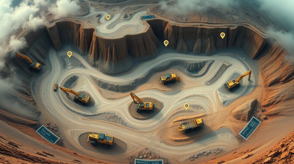
In the world of earthworks, accuracy and efficiency are paramount. Traditionally, surveying and data capture have been labor-intensive and time-consuming, often plagued by unavoidable guesswork and inaccuracies. Now, the game has changed with the advent of Propellor’s Smart Surveys solution. In this report, we’ll delve into the features and benefits of Propellor’s innovative platform and explore how it’s overhauling earthworks operations.
Map, Measure, and Manage: Propellor’s Smart Surveys
Propellor’s Smart Surveys* empowers teams to map, measure, and manage their reality with survey-grade accuracy. By leveraging interactive 3D surveys, Propellor eliminates the need for 2D drawings, providing a more comprehensive and accurate understanding of the site. The platform offers a seamless drone surveying workflow that integrates AeroPoints*, high-accuracy drones, and cloud-based software, making capturing and processing data much easier while minimizing manual labor and maximizing efficiency.
“Built for beginners and validated by experts, AeroPoints** are the industry’s only smart ground control points. Use with any drone and on any worksite to capture survey-grade data every time you fly.” – Propellor Inc.
Key Features and Benefits
- Interactive 3D Surveys: Bring your site to life with interactive 3D surveys that provide a more accurate and comprehensive understanding of the site.
- Fully-Integrated Drone Surveying Workflow: Simplify data capture and processing with Propellor’s fully integrated workflow, which bundles AeroPoints, high-accuracy drones, and cloud-based software.
- Automated Data Processing: Propellor’s cloud-based software automates data processing, reducing manual labor and increasing efficiency.
- Centralized Hub for Survey Data: Manage survey data, site work, and team productivity from one central hub, enabling seamless collaboration and decision-making.
Industry Applications
Propellor’s Smart Surveys solution has far-reaching implications for various industries, including:
- Construction: Accurate and efficient surveying and data capture enables construction teams to streamline workflows and improve project outcomes.
- Aggregates + Mining: Propellor’s solution helps aggregates and mining companies optimize their operations, improve safety, and reduce costs.
- Waste Management: Accurate surveying and data capture enable waste management companies to optimize operations and improve environmental sustainability.
Propellor’s Smart Surveys solution certainly has the potential to become a game-changer for the earthworks sector. By providing accurate, efficient, and automated surveying and data capture capabilities, Propellor empowers teams to make informed decisions and improve project outcomes. With its user-friendly interface, seamless integration, and robust features, Propellor’s solution is exceptional for any organization looking to modernize and optimize its earthworks operations.
Ready to Take Your Heavy Industry Career to the Next Level?
As we propel into the future of heavy industry, it’s essential to recognize the vast opportunities and challenges. Whether you’re a seasoned professional or just starting your journey in the exciting fields of heavy industry, we invite you to explore the latest job openings, learn more about our recruiting services, and connect with our team.
- Find Your Dream Job: Browse our current job openings in mining, construction materials, and heavy civil construction.
- Advance Your Career: Discover our candidate services and learn how we can help you achieve your career goals.
- Partner with Us: Learn more about our recruiting services and how we can help you find the best talent for your organization.
Get in Touch With Resource Erectors
Don’t hesitate to reach out to us with any questions or inquiries.
Contact us by phone at (919) 763-9434, toll-free at (877) 891-0714, or by email at opportunity@resource-erectors.com.
For more information: